Kalamos
3.2/5The tall pine-covered island of the Inner Ionian — two villages, an abandoned bay, endless anchorages
3.2on its own→4.1with the Inner IonianThe harbour village, the ride or walk to Episkopi, and Port Leone by boat.
Part of the Inner Ionian
These are hopping islands, not destinations. Based in Lefkada with a boat or the local ferries, the three of them together make one of the best low-key weeks in Greece.
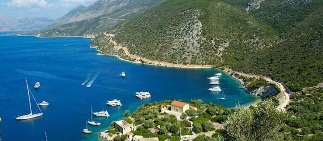
Base4.0Lefkada4 daysKalamos is the biggest and tallest of the small islands strung between Lefkada and the Acarnanian coast — a steep green ridge rising over 700 metres straight from the sea, thick with pines. Around five hundred people live in two villages: Kalamos, stacked above the little harbour on the east coast, and quieter Episkopi facing the mainland across a narrow channel. In the south lies Port Leone, a village abandoned after the 1953 earthquake, its church still tended, its bay one of the best-loved anchorages in the Ionian. A small boat links the island with Mytikas on the mainland; most other visitors arrive under sail.
Getting there
No airport. A small local boat links Kalamos with Mytikas on the mainland (and neighbouring Kastos) most days in summer; many visitors arrive by yacht. Limited, weather-dependent service off-season.
Read full route
Tip: Pair Kalamos with Kastos — the same boat serves both, and together they make a perfect slow two-island hop.
Best time to visit Kalamos
A summer and sailing-season island — tavernas and rooms open roughly May to September, busiest when the flotillas pass in July and August. June and September are the sweet spot: warm sea, quiet paths through the pines, and space on the harbour front.
1-day itinerary for Kalamos
Day 1: Village, Pines & Port Leone
- 09:00 · Rent a boat in Mytikas
The best way to do these islands is to skip the timetable and drive yourself. Nemo Rent a Boat and others on the Mytikas quay hire small outboards for around €100 a day, plus roughly €50 of fuel — and no boat licence is needed, an ordinary car licence is enough. The distances here are tiny, so with an early start and a calm forecast you can take in Kalamos, Kastos and a string of empty coves in a single day. Watch the wind: the afternoon breeze gets up, so plan to be back before it does. Riding your own boat between these islands is the thing people remember from the trip.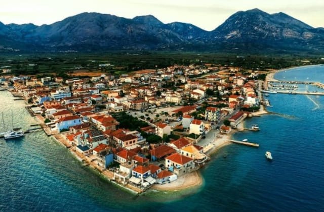
- 10:30 · Kalamos village & harbour
The main village climbs steeply from a small harbour that fills with yachts every summer evening. Whitewashed lanes, a couple of tavernas and shops, and pines coming right down to the water.
- 12:30 · Episkopi
The island's second, much quieter village looks across a narrow channel to Mytikas on the mainland. A handful of houses, a small quay and absolute calm — the road there winds through pine forest with sea views the whole way.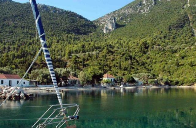
- 🍴 Stop for lunch · Episkopi — see Eat & Drink below
- 15:00 · Port Leone
An abandoned village on a deep, sheltered bay in the island's south — its people left after the 1953 earthquake broke the water supply, but the church is still cared for. No road: reach it by boat or on foot along the old path. One of the most atmospheric anchorages in the Ionian.
Top beaches of Kalamos
Myrtia Beach (Kalamos Beach)

The main beach of Kalamos, known locally as Myrtia — bright pebbles, water that turns glassy in the morning calm, and the green slope of the island rising straight behind it. Sheltered from the northwesterlies, so it stays swimmable when the channel is choppy. Nothing built here at all.
- Type
- Pebble and shingle
- Length
- 250 m
- Depth
- Deep — clear, drops off quickly
- Wind protection
- East-facing — sheltered from the Ionian's afternoon maïstros (NW breeze); typically calm all day
- Facilities
- None — no sunbeds or canteen. A short walk or drive north of the village; bring water and shade.
Agrapidia Beach

South of the village on the sheltered side of the island — white pebbles, deep transparent water and, most days, nobody. This is the Inner Ionian at its emptiest; sailors anchor off it, walkers earn it.
- Type
- White pebble
- Length
- 150 m
- Depth
- Deep — very clear
- Wind protection
- Southeast-facing — well sheltered; calm in summer, exposed only to rare southerlies
- Facilities
- None — wild and unserviced. Easiest reached by boat, or on foot from the village on a rough path.